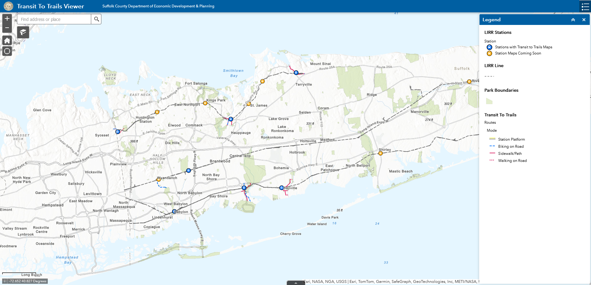
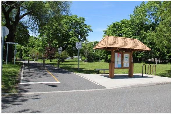
Launched in 2023, Suffolk County’s Transit to Trails Program was created to support hikers and bikers with exploring many of Long Island’s natural landscapes using only public transit. The maps guide visitors to a variety of outdoor recreational activities and downtown amenities which are all accessible from Long Island Rail Road stations.
In addition to parks and trails near stations, the maps include nearby amenities such as:
- Downtowns
- Museums
- Theaters
- Historic Sites
- Boat Rentals
- Bike Rentals
- Skate Parks
- Beaches
- Bowling
- Ice Skating
- Golfing
- Playgrounds
- Boardwalks
- Breweries
- Vineyards
- Distilleries
Use the interactive map to preview routes and amenities at stations. From there, select stations to learn more about its amenities, open mobile friendly PDF maps or print station brochures.

To view this portal in full screen, please visit: https://gisapps.suffolkcountyny.gov/transittotrails/
Stations:
Babylon:
Use this guide to access a 5 mile greenbelt to Belmont Lake State Park, walk around Argyle Lake or explore downtown Babylon with many shops, restaurants, cultural and historical amenities all accessible from the LIRR station.
Cold Spring Harbor:
Use this guide to access some of Long Island’s most challenging terrains, over 20 miles of greenbelt trails, a large network of mountain biking trails and a seaside downtown which are all accessible from the LIRR station.
Deer Park:
Use this guide to access the 813 acre Edgewood Oak Brush Plains Preserve, 23 miles of trails and a variety of golf, shopping and entertainment all accessible from the LIRR station.
Great River:
Use this guide to access over 5,000 acres of State Parks, the Long Island Greenbelt Trail, two multi-use greenways, Bayard Cutting Arboretum and East Islip’s main street which are all accessible from the LIRR station.
Port Jefferson:
Use this guide to access over 13 miles of paved greenways as well as two historic downtowns with many shops, restaurants, cultural and historical amenities all accessible from the LIRR station.
Sayville:
Use this guide to access ocean beaches, hiking and biking trails, museums, golfing and an active Main Street all accessible from the LIRR station.
Smithtown:
Use this guide to access over 1,000 acres of parks, hiking and biking trails, the Nissequogue River, the Long Island Greenbelt Trail and an active downtown district all accessible from the LIRR station.
For LIRR schedules and to purchase tickets: Click Here
For bike regulations on the LIRR: Click Here

The Transit to Trails initiative is the result of a year-long effort to map all of the sidewalks, trails and bike facilities in the County. Recognizing that much of the County’s 160,000 acres of parks are within walking or biking distance from public transit, the Transit to Trails program was created to facilitate the link between stations and trails. The program also complements the County’s Connect Long Island initiative, and directly benefits from recent investments in pedestrian friendly infrastructure following the release of the Suffolk County Hike and Bike Master Plan.
The maps will continue to be updated as new pedestrian facilities from the plan are implemented. Following the completion of the County’s Reimagine Transit initiative, additional maps for key Suffolk County Transit stops will also be created so please check back for updates!
For questions or feedback on the Transit to Trails program, please reach out to us at ecodev@suffolkcountyny.gov.


